Wharton Plantation

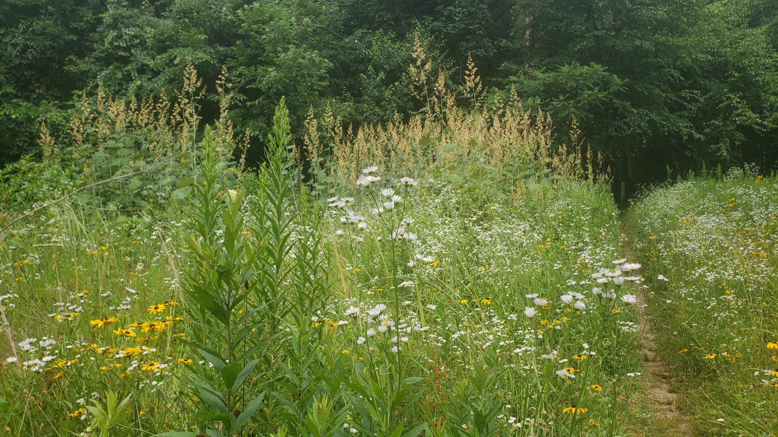
Large parcel with diverse terrain includes eskers, a heron rookery, and kettle ponds. Boombox and Sledgehammer trails are ideal for technical mountain biking. Connects to Gamlin Crystal Springs and Mason Back 100. Look for eskers, kettle ponds, a heron rookery, and old farm walls on the North Loop. On the Baddacook side, look for eskers, ponds and a wildflower garden. Continuing southeast, across Old Dunstable Road are the Burnt Meadow trails. Check out a new wildflower garden that reclaimed NEFF’s logging station and observe first hand how the forest renews when selective forestry is used.

Size: Approximately 700 acres

Owner: New England Forestry Foundation

History


William P. Wharton: Groton’s Conservationist,
C. David Gordon (abridged)

No one has left a more enduring footprint or indelible mark on the town of Groton than William Pickman Wharton (1880-1976), though few people are alive today who knew him during his 70 years as a Groton resident. Known to his friends as “Billy,” he was deeply committed to forest conservation and preservation and to land use planning and management. He is remembered in town today more for the results he brought about in these areas of concern than as a figure about town.

In 1968 Wharton gave land he had acquired to the New England Forestry Foundation, which he had helped form back in 1944.  Since this land was mostly abandoned farms, it was called the Wharton Plantation. The year 2018 marked the Foundation’s 50th anniversary of managing this woodland to keep the forest thriving while allowing for the marketing of saw logs, cords of wood, and wood chips and also providing a system of trails for the public to enjoy.

Directions

Two parking areas on Old Dunstable Road (Burnt Meadow, Baddacook and Sledge Hammer trails). Some on street parking. Wharton’s northern trails have parking where Rocky Hill turns into Martins Pond Road.

Map(s)

Map Goes Here
Click a label for more information. Click and drag to scroll. Zoom in to separate overlapping labels.

Private paths are shown in light gray. Please stay on paths and respect private property on these trails.
 Parking

 Trailhead

Nearby Places


Gamlin Crystal Springs Area

Large property with 5 trails. Trails on the East side follow a large esker with multiple ponds. The West Gamlin trails pass by ponds, erratics, and remnants of an old quarry. A favorite for mountain biking. Connections to Red Line, Mason Back 100 and Wharton. Look for a great esker trail on the east side...
Learn more

Mason Back 100

Slight uphill walk. The terrain is extremely valuable as wildlife habitat as the land is mostly wooded. Connects to both Gamlin Crystal Springs and Wharton Plantation. Look for a substantial home site on the property including cellar hole and barn foundation.  An old meadow is intact including a well-set stone wall.  The property is transited...
Learn more

Red Line

Easy 1 mile walk. This former railroad bed is level and runs alongside eskers and wetlands. From this trail you can connect to the Esker Trail of the east parcel of Gamlin Crystal Springs. The Red Line Path extends from Island Pond Road (entrance to The Cronin-Massapoag Conservation Land) to the Cow Pond Road end.
Learn more

Difficulty

Moderate