Places and Trails in the Region
Wharton Plantation
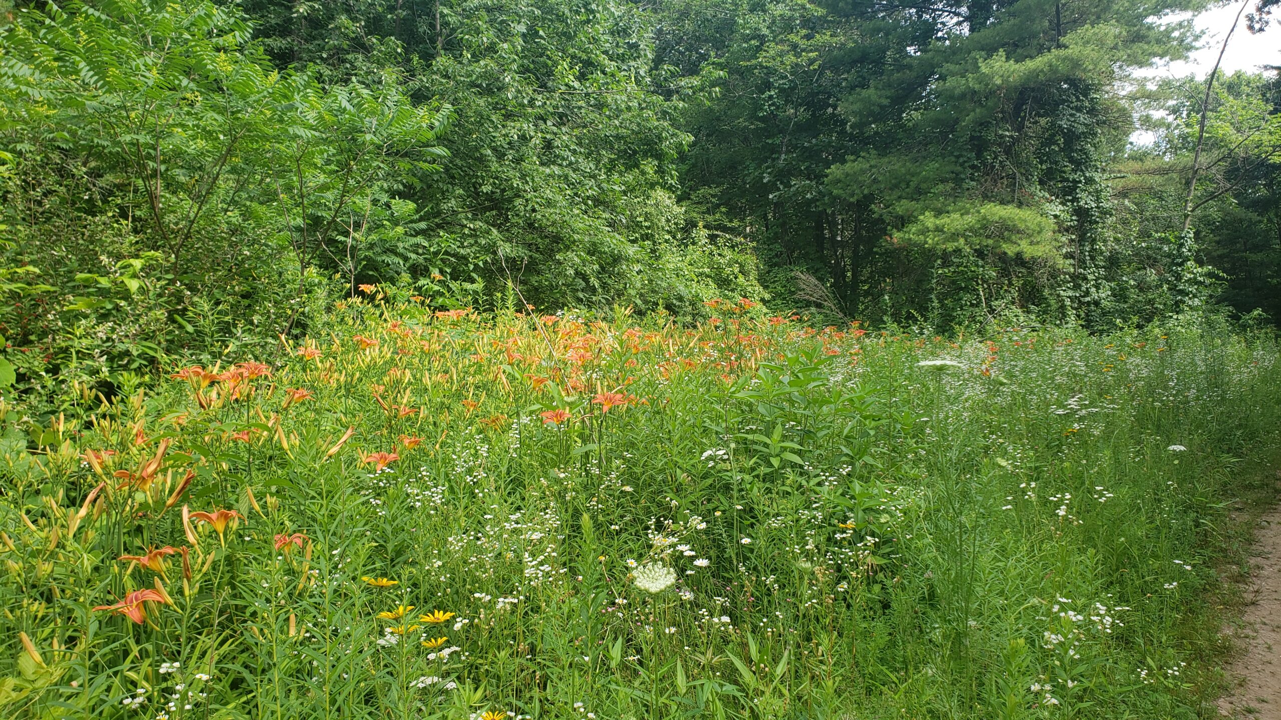
Large parcel with diverse terrain includes eskers, a heron rookery, and kettle ponds. Boombox and Sledgehammer trails are ideal for technical mountain biking. Connects to Gamlin Crystal Springs and Mason Back 100. Look for eskers, kettle ponds, a heron rookery, and old farm walls on the North Loop Primary Trail. On the Baddacook side trail,...
Learn moreGamlin Crystal Springs Area
Large property with 5 trails. Trails on the East side follow a large esker with multiple ponds. The West Gamlin trails pass by ponds, erratics, and remnants of an old quarry. A favorite for mountain biking. Connections to Red Line, Mason Back 100 and Wharton. Look for a great esker trail on the east side...
Learn moreMason Back 100
Slight uphill walk. The terrain is extremely valuable as wildlife habitat as the land is mostly wooded. Connects to both Gamlin Crystal Springs and Wharton Plantation. Look for a substantial home site on the property including cellar hole and barn foundation. An old meadow is intact including a well-set stone wall. The property is transited...
Learn moreRed Line
Easy 1 mile walk. This former railroad bed is level and runs alongside eskers and wetlands. From this trail you can connect to the Esker Trail of the east parcel of Gamlin Crystal Springs. The Red Line Path extends from Island Pond Road (entrance to The Cronin-Massapoag Conservation Land) to the Cow Pond Road end.
Learn moreWhispering Brook
This flat parcel connects Whispering Brook Rd to the discontinued Blood Rd. in the Mason Back 100 parcel owned by the GCT.
Learn moreCarters’ Folly
A short connector trail that connects the Allen’s Trail neighborhood with conservation lands along Lost Lake Rd. Across Rte. 40 from Allen’s Trail, about ¼-mile away from Carters’ Folly, is the very large Wharton Plantation. Carters’ Folly provides access to trails in the Baddacook Woods and Skitapet Conservation Land parcels. The land contains mature oak,...
Learn moreBaddacook Woods
A small parcel at the end of Allen’s Trail that connects to Groton Conservation Trust’s Carter’s Folly parcel. Together, they connect the southern end of Wharton to Skitapet.
Learn moreSkitapet Conservation Area
This network of many trail loops though evergreen woods traverses over and around glacial features, such as kettle holes and eskers. The area features a 1.6-mile loop trail known as Skitapet Trail, which is generally considered easy to moderate and suitable for hiking and walking. Additional trails within the area, including Skitapet Long, are also...
Learn more