Skitapet Conservation Area

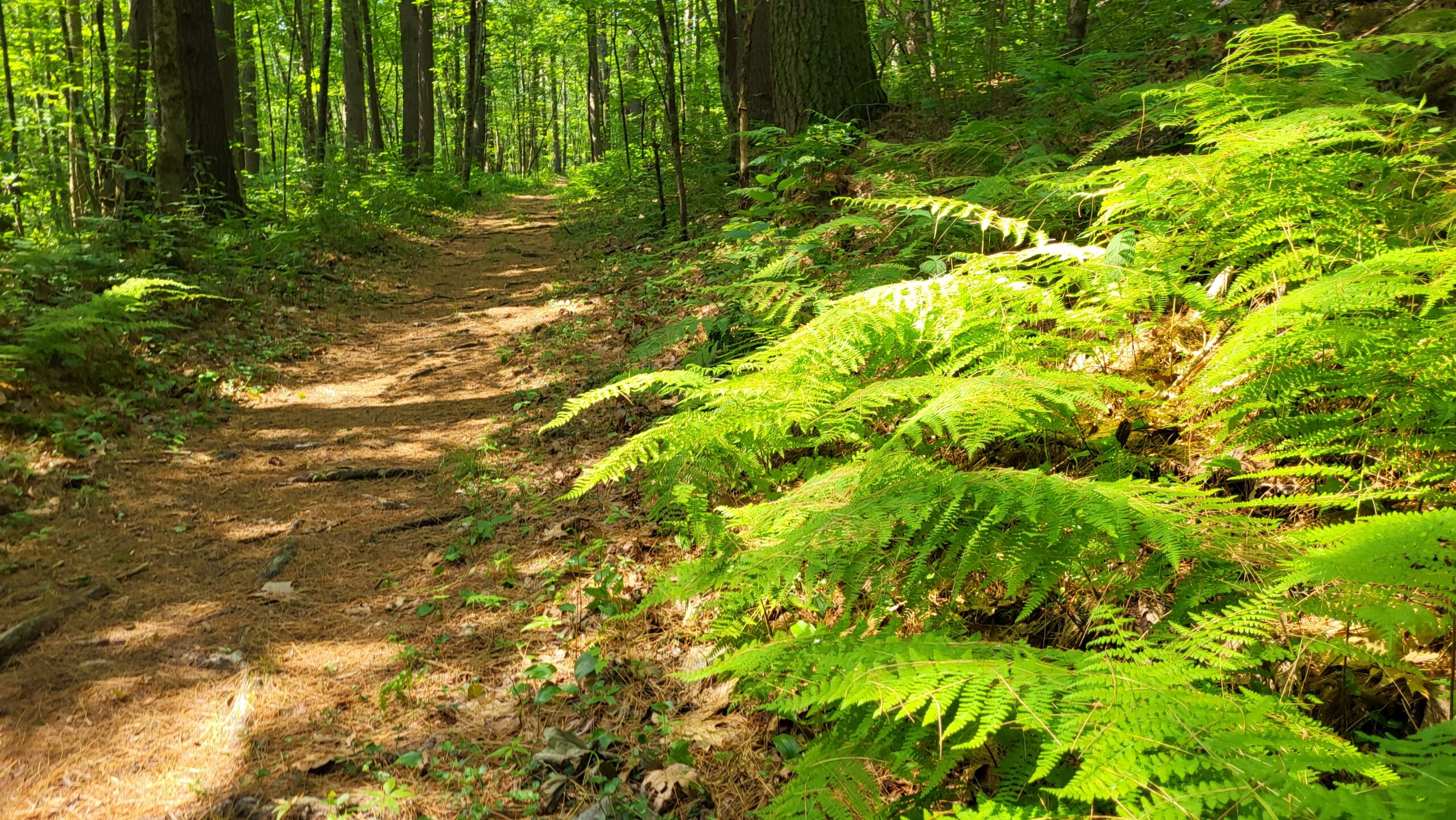
This network of many trail loops though evergreen woods traverses over and around glacial features, such as kettle holes and eskers. The area features a 1.6-mile loop trail known as Skitapet Trail, which is generally considered easy to moderate and suitable for hiking and walking. Additional trails within the area, including Skitapet Long, are also suitable for mountain biking and trail running.

Parking for Skitapet Conservation Area is available behind the Lost Lake Fire Station.
Size: 51 acres

Owner: Groton Conservation Trust

History

The Skitapet name was fashioned from the opening letters of the original 1954 pioneer families’ last names—Skinner, Taplin, and Peterson.

The 17 modern day pioneers have moved on, but they left a permanent legacy to the people of Groton, thanks to generous gifts of conservation land from both the Taplins and the Skinners, more than 250 acres in all. Over the years both John Taplin and Joe Skinner purchased land beyond the original 102 acres and have donated it, in several parcels, to the Groton Conservation Trust. Joe and Jeanne Skinner donated 51 acres they called Skitapet Conservation Land as a tribute to the three pioneer families. After Joe died in 1985, John and Ginny Taplin donated 128 acres of woodlands to be known as Skinner Forest in Joe’s memory. The Taplins also contributed land to the Lost Lake Recreation Area, the Duck Pond Conservation Area, and the Whitney Well Site (under the jurisdiction of the Groton Water Commission), and established the Taplin Wildlife Sanctuary at the edge of Whitney Pond where it meets Lowell Road. The love of the land that brought the Skitapet pioneers to Groton in 1954 lives on through their generosity to the people of Groton, enabling others to get close to nature the way they and their families did fifty years ago.

Source: Modern-Day Pioneers in Groton by C. David Gordon, GHS Vice President

Directions

Parking for Skitapet Conservation Area is available behind the Lost Lake Fire Station.
Map(s)

Map Goes Here
Click a label for more information. Click and drag to scroll. Zoom in to separate overlapping labels.

Private paths are shown in light gray. Please stay on paths and respect private property on these trails.
 Parking

 Trailhead

Nearby Places


Baddacook Woods

A small parcel at the end of Allen’s Trail that connects to Groton Conservation Trust’s Carter’s Folly parcel. Note: The trails in Baddacook Woods and Carter’s Folly need to be mapped out, but they are there.  The GTC just need to get them GPS’ed. These parcels connect the southern end of Wharton to Skitapet.
Learn more

Skinner Forest Area

Skinner Forest Conservation area is a very nice hiking area with several miles of trails. Trail difficulty is generally easy with some moderately difficult hills. Trail conditions are good, though they are rocky as this used to be a logging area.
Learn more

Difficulty

Moderate