Nipmuc Meadows

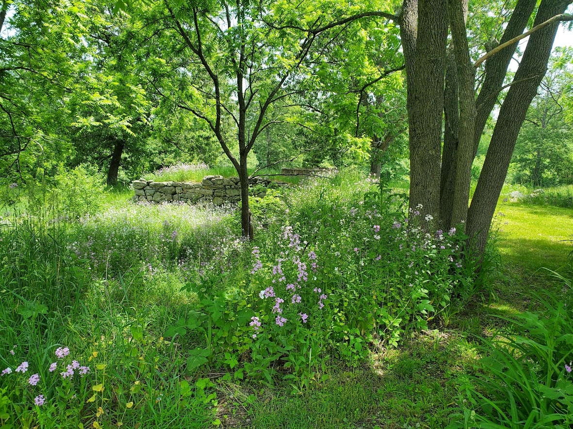
Formerly known as the Shattuck Homestead, this parcel has been dedicated and renamed “Nipmuc Meadows” in honor of the Nipmuc people who were the earliest settlers in Groton. Level trails cross a meadow over to woods where you will find the shore of Baddacook Pond, which teems with wildlife and is an important turtle habitat.
Size: 36 acres

Owner: Groton Conservation Commission

History

This land was acquired by the Conservation Commission in 1999.  Prior to this, the land was farmed for two centuries. The Bennett-Shattuck House across the street on Martins Pond Road, is a historic house built c. 1812. It is a well-preserved example of rural Federal period architecture.

Long before, the Nipmuc indigenous people called places like this home.  They lived in scattered villages, including some that were part of what is now Groton.  Their historic territory, “Nippenet” (meaning ‘the freshwater pond place’), covered central Massachusetts and parts of Connecticut and Rhode Island. The Nipmuc were “freshwater people,” living along rivers and on the shores of lakes and ponds where they hunted a variety of animals such as moose, deer, and black bear, and supplementing their diet with fish, roots, berries, and nuts. The Nipmuc people were skilled in crafting containers and dwellings from willow and birchbark and utilized snowshoes and toboggans for winter travel.

The Nipmuc Nation is a vibrant and active community. They are one of New England’s most historic and largest Native communities, with nearly 600 members. In April 2024, this parcel of land was dedicated and renamed “Nipmuc Meadows” in honor of the Nipmuc people.

Source: EBSCO

Map(s)

Map Goes Here
Click a label for more information. Click and drag to scroll. Zoom in to separate overlapping labels.

Private paths are shown in light gray. Please stay on paths and respect private property on these trails.
 Parking

 Trailhead

Activities & Features

Nearby Places


Baddacook Conservation Land

The western part of this parcel is a large hemlock forest and the eastern part follows beneath the New England Power Company powerlines. Extensive wetlands are along the western side of the parcel. From Martins Pond Rd, the trail goes north, following the powerlines, and later climbs a hill. At the top of the hill,...
Learn more

Difficulty

Easy