Baddacook Woods

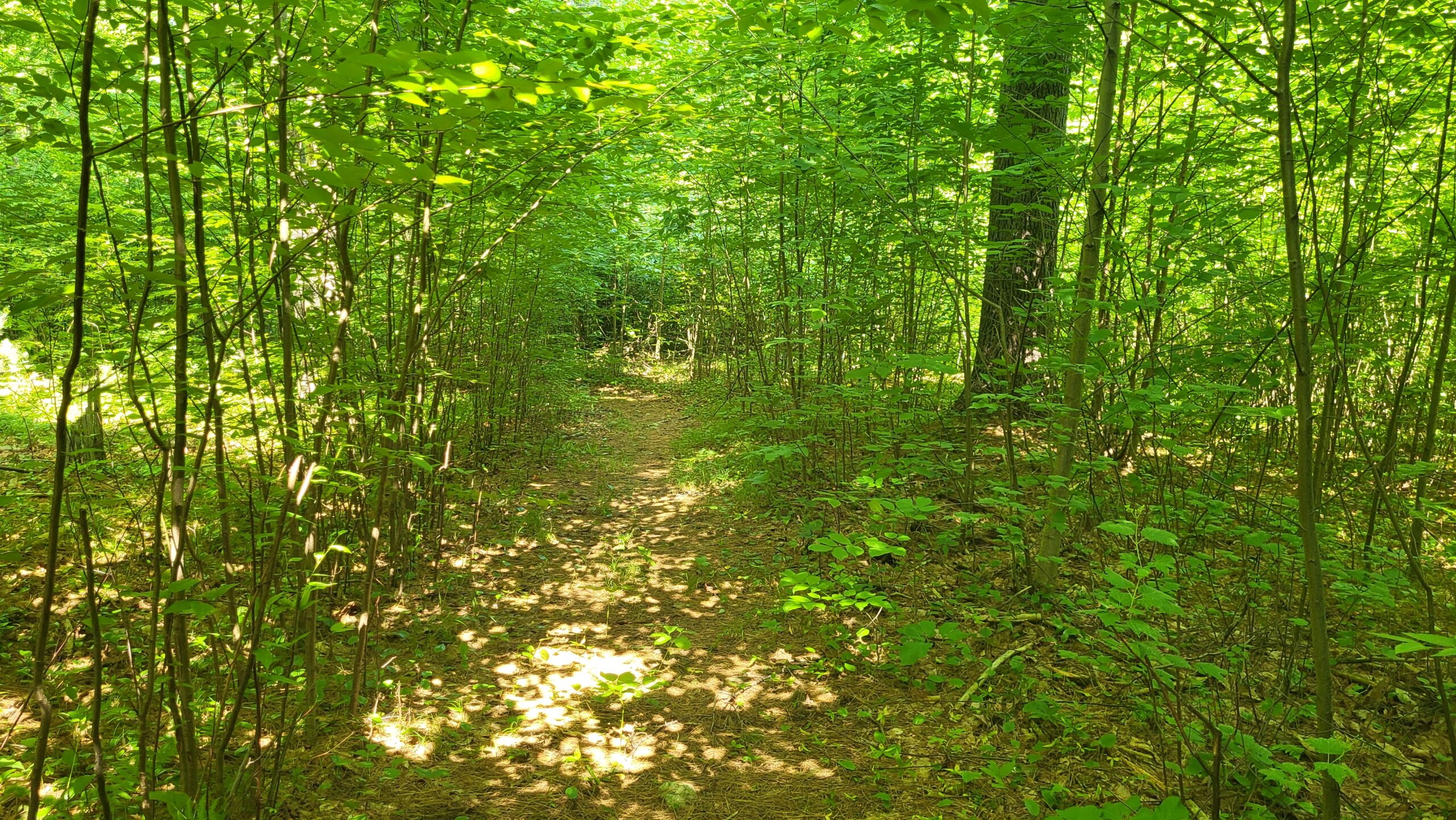
A small parcel at the end of Allen’s Trail that connects to Groton Conservation Trust’s Carter’s Folly parcel. Together, they connect the southern end of Wharton to Skitapet.

Size: 16 acres

Owner: New England Forestry Foundation

CR Holder: Groton Conservation Commission.

History

Purchased in 1998.

Directions

Access from the end of Allen’s Trail or via informal trails from Lost Lake Rd.

Map(s)

Map Goes Here
Click a label for more information. Click and drag to scroll. Zoom in to separate overlapping labels.

Private paths are shown in light gray. Please stay on paths and respect private property on these trails.
 Parking

 Trailhead

Activities & Features

Nearby Places


Carter’s Folly

A short connector trail that connects the Allen’s Trail neighborhood with conservation lands along Lost Lake Rd.  Across Rte. 40 from Allen’s Trail, about ¼-mile away from Carter’s Folly, is the very large Wharton Plantation. Carter’s Folly provides access to trails in the Baddacook Woods and Skitapet Conservation Land parcels. The land contains mature oak,...
Learn more

Wharton Plantation

Large parcel with diverse terrain includes eskers, a heron rookery, and kettle ponds. Boombox and Sledgehammer trails are ideal for technical mountain biking. Connects to Gamlin Crystal Springs and Mason Back 100. Look for eskers, kettle ponds, a heron rookery, and old farm walls on the North Loop Primary Trail. On the Baddacook side trail,...
Learn more

Skitapet Conservation Area

This network of many trail loops though evergreen woods traverses over and around glacial features, such as kettle holes and eskers. The area features a 1.6-mile loop trail known as Skitapet Trail, which is generally considered easy to moderate and suitable for hiking and walking. Additional trails within the area, including Skitapet Long, are also...
Learn more

Difficulty

Easy