“In every walk with nature, one receives far more than he seeks”
– John Muir
Welcome to the Groton Trails website. Use our interactive map, find information about Groton’s public conservation lands, learn about trail projects and related events, and enjoy the richness of Groton’s 130 miles of maintained trails. Feedback is welcomed.
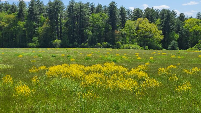
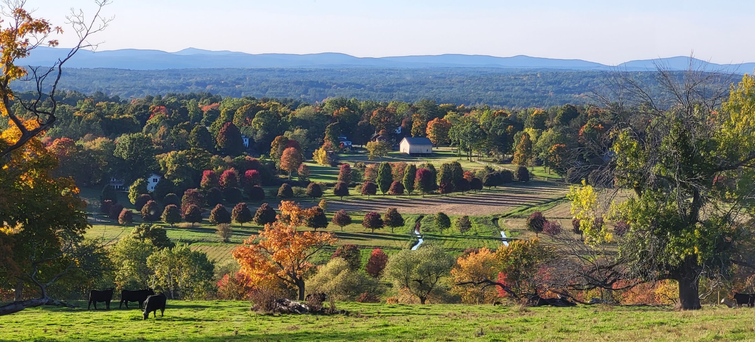
Groton’s trails are used by people of varied interests and we welcome hikers, mountain bikers, horseback riders, and those curious about learning more about our natural and physical environment. Whether new to the trails or an experienced hiker, you can explore lakes, eskers, oxbows, drumlins, kettle holes, rivers & streams, vernal pools, fields, hills, farms, swimming holes, beaver dams, and more. While exploring, you will also observe extremely diverse populations of wildlife, trees, bushes, wildflowers, insects, fungi, and more.
Getting started
- Use the search in the top navigation menu to find a specific place or topic. In the phone or tablet view, hit the hamburger menu icon in the top right to see the navigation panel and search is on the bottom.
- If you are new to our trails, take a look at our Trail Use Guidelines and What to Bring on a Hike.
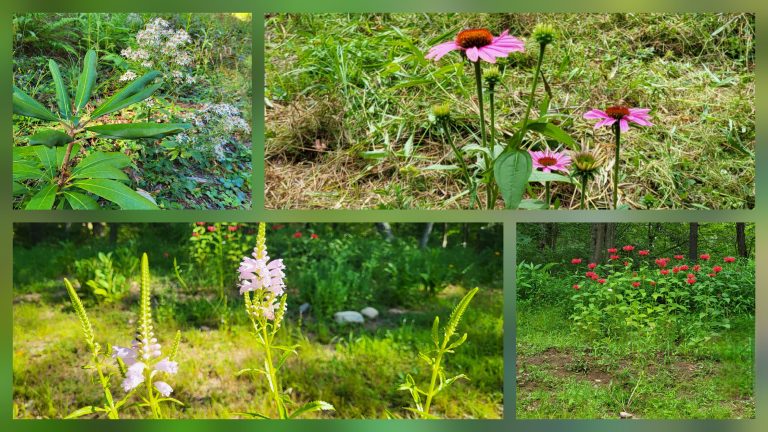
- View our Gallery of photos for inspiration for your next hike!
Groton Trails News
-
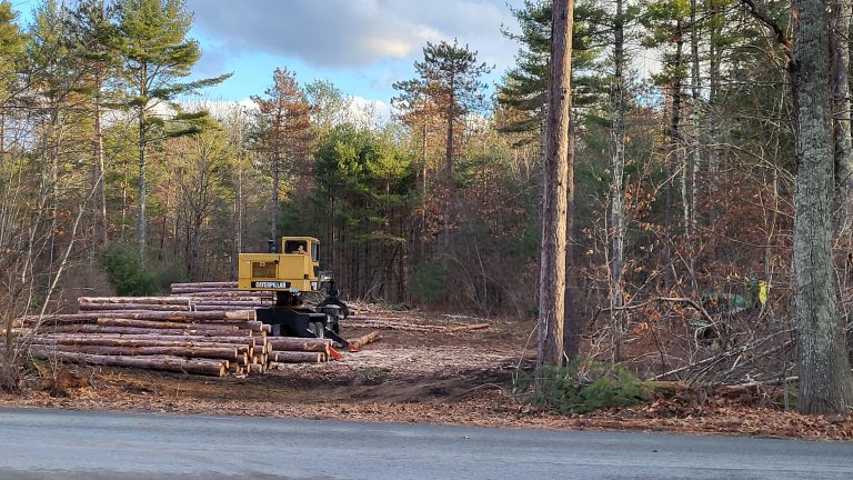
Wharton Burnt Meadow section temporarily closed
Please be advised that NEFF logging operations in sections of the Wharton Plantation along Old Dunstable Road have begun. This will impact the Burnt Meadow northern loop for several months. This logging is being done to help prevent the spread of Red Pine Scale, an invasive pest causing widespread mortality in red pine forests.
-
The Story of a Meadow
Have you ever heard the story of Stone Soup? A long time ago, a stranger walked into a village and said, “I’m going to make stone soup to share with all of you.” The villagers ignored him. Undaunted, he began by placing a magic stone into a cauldron of water. Soon a villager came out…
-
New Website
Welcome to our new website. In addition to a new look, the site has been redesigned to help you take advantage of the Groton trails. As you explore the site, here are some features you will find: